
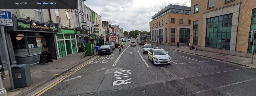
The Dublin Cycling Campaign recently held their first Liffey Cycle Route protest since early 2020. The route has been proposed, opposed, planned, and sent back to planners, many times over the last ten years. I’ve lost track of all the different drafts that have gone through, and I don’t often cycle along the Liffey, so it was interesting to see how much has changed since the last protest, and where the problems remain.
It was hard to get a good sense of the changes in the group cycle, it was a quiet Sunday morning and we were taking the lane in a lot of places, so I went to google maps to compare the north quays from the park to O’Connell street. (The south quays will have to wait for another time)

Parkgate Street is a big improvement. There used to be a shared bus/bike lane full of parked cars, followed by parking inside the bus lane. Now there is a parking-protected cycle lane.
The fork in the road approaching the Aisling hotel is still a problem, and all the way through the junction with Heuston bridge you are on your own.
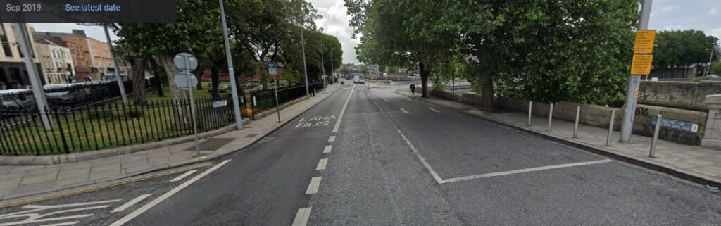
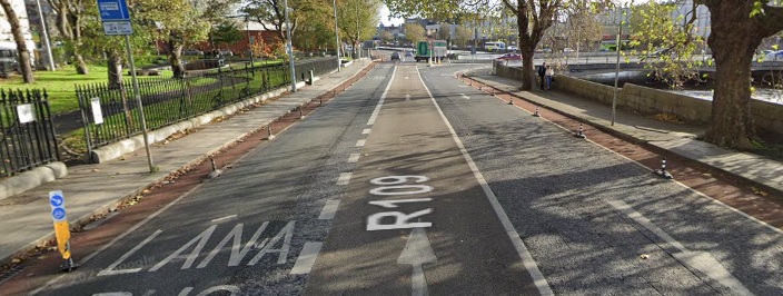
Things improve again at the Croppies’ Acre, with narrow, but protected, cycle lanes on both sides of the road.
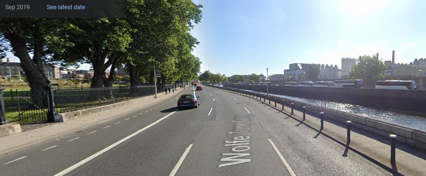

Wolfe Tone Quay is massively improved – car lane out, two-way protected cycle lane in.
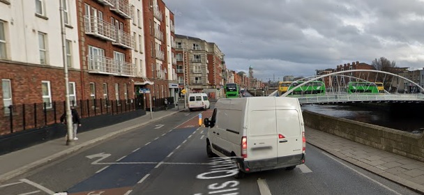
All is good until Ellis Quay, where the cycle lane disappears because, hey, it’s interfering with cars. You don’t mind sharing with left-turning vans, do you?

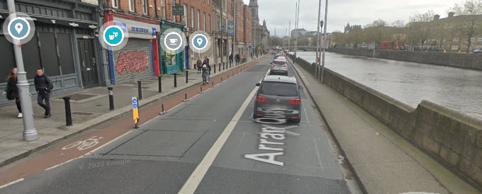
The painted cycle lane along Arran Quay is now protected, although there are gaps. The weirdest section of the route though, is the change from Arran Quay to Inns Quay. First… why this unprotected stretch, with cars pulling in to park, some of them on the path?
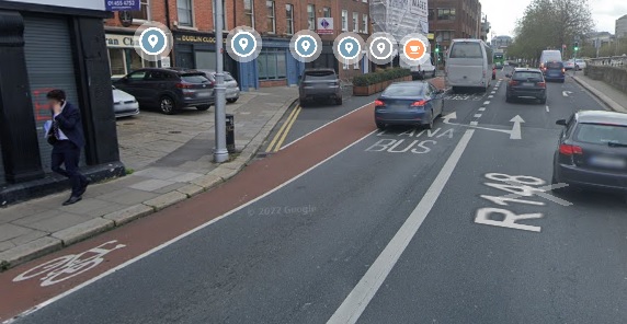
And then, why make cyclists switch to a (very nice, wide, protected) lane on the other side of the road?
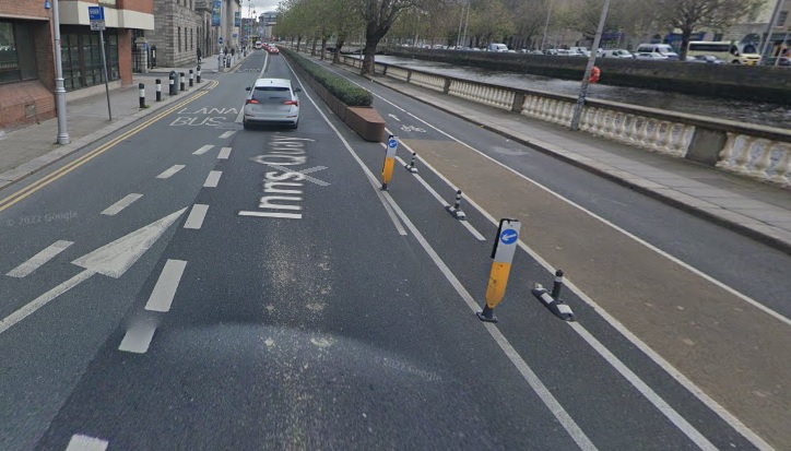
Cyclists pretty much have to stop at the junction and wait for the lights to change so they can move to the other side of the road. Why?
(Obviously, this is still a massive improvement on the 2019 murderstrip)
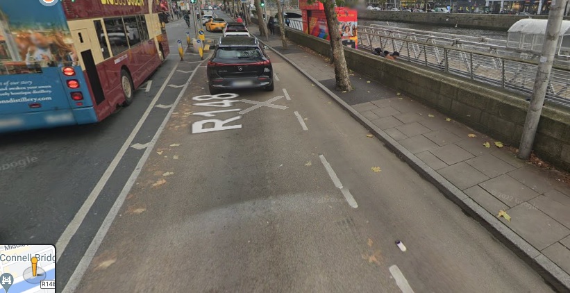
The cycle lane is lovely once you’re on it, and continues all the way down past the Ha’penny Bridge, so a good stretch.
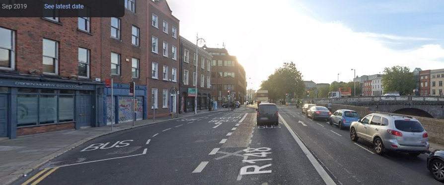
Then it just… stops. And the cars that were on your left, on the other side of bollards, are merging into you, and squeezing past a traffic island. It’s all paint from there to O’Connell Street – work is starting now on Eden Quay so I’ll stop there.
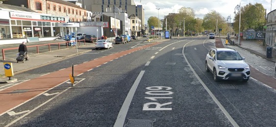
Overall, there is a huge improvement since 2019. (I wonder why?) There are long stretches of good cycle lane that you’d be happy to let anyone cycle on. Private car lanes, and car parking, have been removed in places, and progress is being made. But equally, there are sections where the safety of cyclists is being sacrificed for the convenience of drivers.
The hierarchy of road users is simple – pedestrians and cyclists, then public transport, then private vehicles. But the attitude in both the planning department and sections of the council chamber is that a direct route along the quays for private cars must be preserved at all costs. We’re offered disappearing cycle lanes, or a plan to spend millions on boardwalks to make more space, but not the obvious solution. If there’s no room for bikes, buses, and cars on parts of the quays, then the cars have to go.